


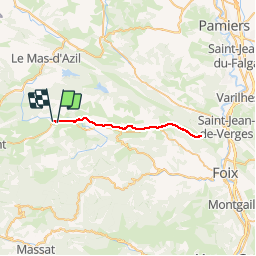

52 km | 63 km-effort

Gebruiker


Gratisgps-wandelapplicatie
 SityTrail
IGN / Geografische instituten
SityTrail World
De wereld gaat voor u open
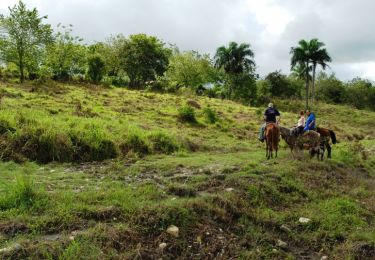
Tocht Mountainbike van 36 km beschikbaar op Occitanië, Ariège, La Bastide-de-Sérou. Deze tocht wordt voorgesteld door jopost.
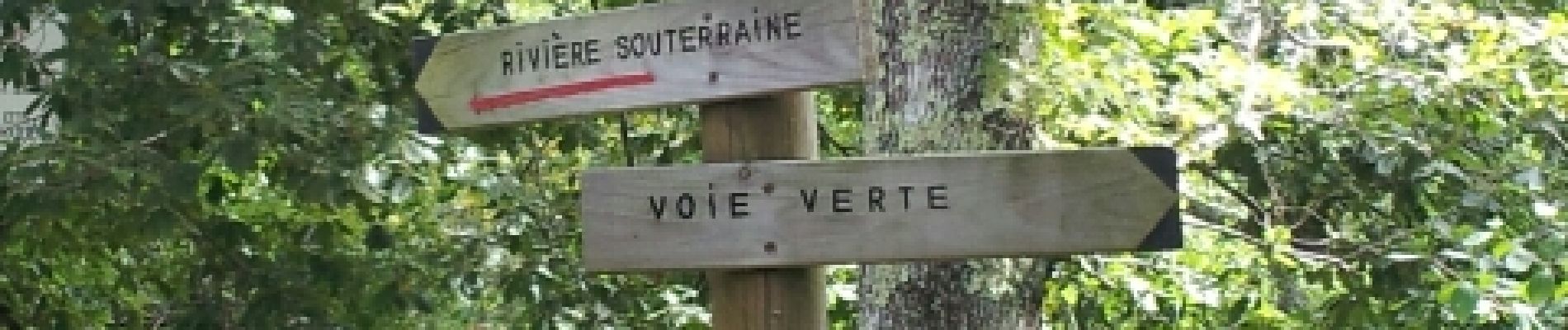
voie verte


Elektrische fiets
Lopen
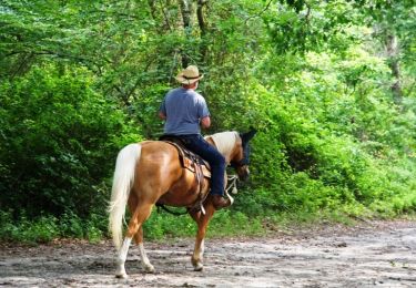
Paard
Paard
Paard
Paard
Paard

Stappen
Stappen